


rando Michel Beauregard Barret

okfred26
User
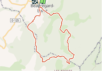

Length
10.2 km

Max alt
853 m

Uphill gradient
527 m
Km-Effort
17.3 km

Min alt
420 m

Downhill gradient
531 m
Boucle
Yes
Creation date :
2023-04-06 11:53:21.245
Updated on :
2023-04-06 15:43:37.345
3h49
Difficulty : Easy

FREE GPS app for hiking
 SityTrail
IGN / Geographical institutes
SityTrail Plus
The world is yours!
About
Trail Walking of 10.2 km to be discovered at Auvergne-Rhône-Alpes, Drôme, Beauregard-Baret. This trail is proposed by okfred26.
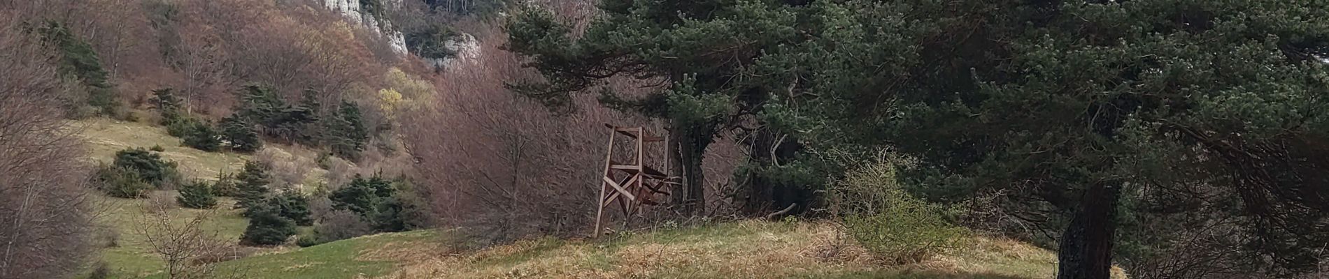
Photos


Positioning
Country:
France
Region :
Auvergne-Rhône-Alpes
Department/Province :
Drôme
Municipality :
Beauregard-Baret
Location:
Unknown
Start:(Dec)
Start:(UTM)
672167 ; 4984881 (31T) N.
Comments