


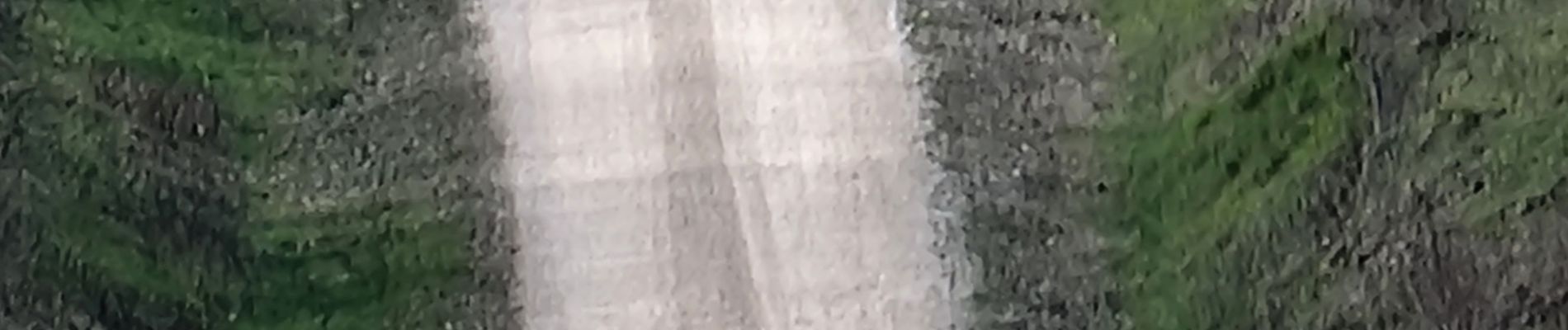
sur chemin des 2 vallees

CDSM 55
User
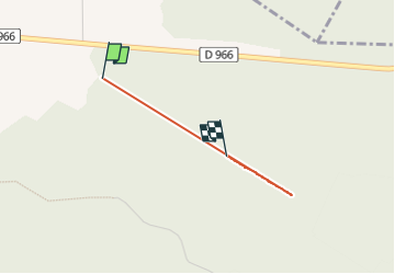

Length
1.7 km

Max alt
381 m

Uphill gradient
21 m
Km-Effort
2 km

Min alt
369 m

Downhill gradient
21 m
Boucle
No
Creation date :
2023-04-07 14:19:31.584
Updated on :
2023-04-07 15:45:40.312
6m
Difficulty : Easy

FREE GPS app for hiking
 SityTrail
IGN / Geographical institutes
SityTrail Plus
The world is yours!
About
Trail Walking of 1.7 km to be discovered at Grand Est, Meuse, Gondrecourt-le-Château. This trail is proposed by CDSM 55.
Photos

Positioning
Country:
France
Region :
Grand Est
Department/Province :
Meuse
Municipality :
Gondrecourt-le-Château
Location:
Unknown
Start:(Dec)
Start:(UTM)
688153 ; 5376060 (31U) N.
Comments