


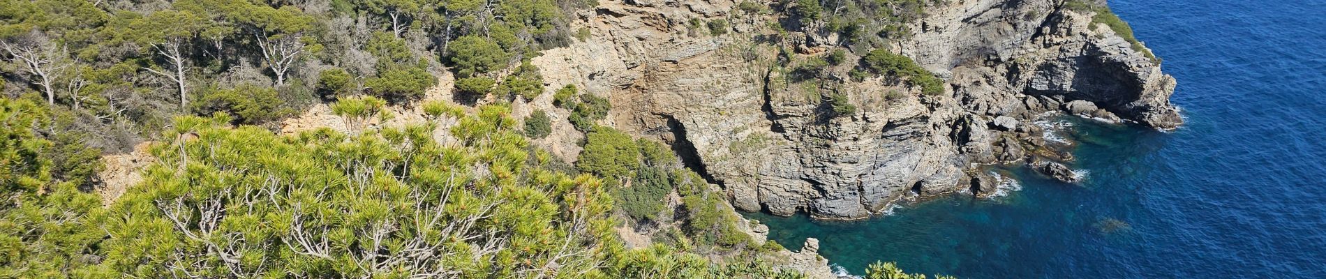
Hyères - La presqu'île de Giens - Circuit côtier ouest

Sigmut
User


6h41
Difficulty : Medium

FREE GPS app for hiking
 SityTrail
IGN / Geographical institutes
SityTrail Plus
The world is yours!
About
Trail Walking of 8.4 km to be discovered at Provence-Alpes-Côte d'Azur, Var, Hyères. This trail is proposed by Sigmut.
Description
Une randonnée au paradis effectuée avec des enfants de 6 et 7 ans. Attention bonne chaussure de marche exigée. Il y a beaucoup de monde.
Photos


54 photos in total. Please click on a photo to see them all in the gallery.
Positioning
Comments