


lirac

fario
User


Length
12.6 km

Max alt
253 m

Uphill gradient
271 m
Km-Effort
16.2 km

Min alt
109 m

Downhill gradient
270 m
Boucle
Yes
Creation date :
2023-04-13 07:42:15.646
Updated on :
2023-04-13 13:11:37.595
5h31
Difficulty : Difficult

FREE GPS app for hiking
 SityTrail
IGN / Geographical institutes
SityTrail Plus
The world is yours!
About
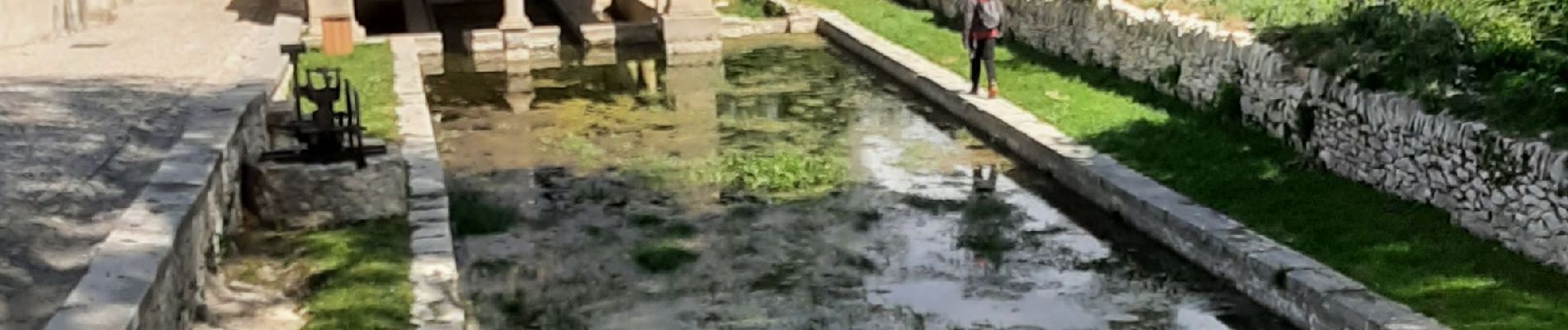
Trail Walking of 12.6 km to be discovered at Occitania, Gard, Lirac. This trail is proposed by fario.
Photos


Positioning
Country:
France
Region :
Occitania
Department/Province :
Gard
Municipality :
Lirac
Location:
Unknown
Start:(Dec)
Start:(UTM)
635493 ; 4877181 (31T) N.
Comments