


Barrage du Ley via les Choseaux et la rive droite de la Valoirette

Papy Diouf
User
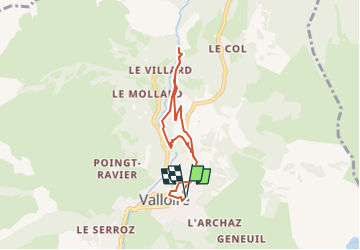

Length
5.8 km

Max alt
1458 m

Uphill gradient
201 m
Km-Effort
8.5 km

Min alt
1303 m

Downhill gradient
198 m
Boucle
Yes
Creation date :
2023-04-13 14:59:24.255
Updated on :
2023-04-13 15:10:52.401
1h55
Difficulty : Medium

FREE GPS app for hiking
 SityTrail
IGN / Geographical institutes
SityTrail Plus
The world is yours!
About
Trail Walking of 5.8 km to be discovered at Auvergne-Rhône-Alpes, Savoy, Valloire. This trail is proposed by Papy Diouf.
Description
sous bois puis barrage du Ley rive droite,projet de construction d'usine hydro-electrique
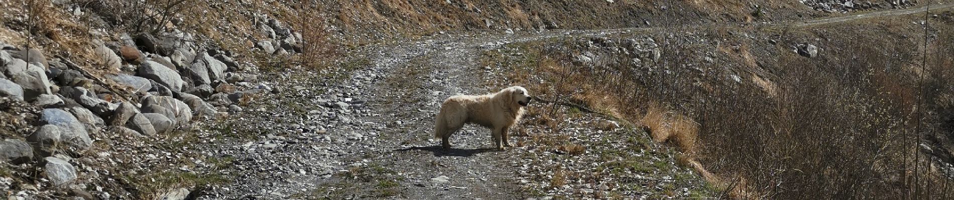
Photos


Positioning
Country:
France
Region :
Auvergne-Rhône-Alpes
Department/Province :
Savoy
Municipality :
Valloire
Location:
Unknown
Start:(Dec)
Start:(UTM)
298252 ; 5004524 (32T) N.
Comments