


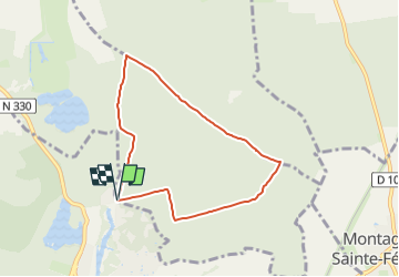

8.1 km | 9.5 km-effort


User


FREE GPS app for hiking
 SityTrail
IGN / Geographical institutes
SityTrail World
The world is yours!
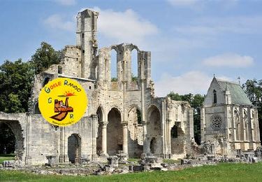
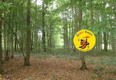
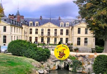
Trail Walking of 6.3 km to be discovered at Hauts-de-France, Oise, Fontaine-Chaalis. This trail is proposed by Pousscailleux.
Arbre remarquable, "l'Ancêtre de Perthe", N 49° 08.254 / E 002° 43.494, 37 m de haut et âgé de 250 ans, peut-être le plus vieux chêne sessile de cette forêt, n'est plus. Déjà déclaré "arbre solide mais à surveiller" en mai 2002 par un expert de l'ONF, et dépourvu de feuillage en 2016, il est, comme beaucoup d'autres grands arbres de sa section, définitivement manquant.

Walking
Walking
Walking

Walking
Walking

Walking
Walking
Walking
Walking