


Mas Granier

Dupuybadonniere
User

Length
7.1 km

Max alt
112 m

Uphill gradient
104 m
Km-Effort
8.5 km

Min alt
49 m

Downhill gradient
104 m
Boucle
Yes
Creation date :
2023-04-14 12:00:09.139
Updated on :
2023-04-14 14:08:22.056
1h44
Difficulty : Medium

FREE GPS app for hiking
 SityTrail
IGN / Geographical institutes
SityTrail Plus
The world is yours!
About
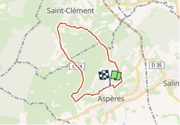
Trail Walking of 7.1 km to be discovered at Occitania, Gard, Aspères. This trail is proposed by Dupuybadonniere.
Positioning
Country:
France
Region :
Occitania
Department/Province :
Gard
Municipality :
Aspères
Location:
Unknown
Start:(Dec)
Start:(UTM)
583708 ; 4851485 (31T) N.
Comments