


Plateau du Treps

FSantoni
User
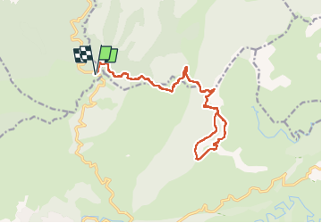

Length
19.4 km

Max alt
645 m

Uphill gradient
467 m
Km-Effort
26 km

Min alt
514 m

Downhill gradient
464 m
Boucle
Yes
Creation date :
2023-04-16 07:17:39.353
Updated on :
2023-04-16 17:33:40.405
5h49
Difficulty : Very difficult

FREE GPS app for hiking
 SityTrail
IGN / Geographical institutes
SityTrail Plus
The world is yours!
About
Trail Walking of 19.4 km to be discovered at Provence-Alpes-Côte d'Azur, Var, Gonfaron. This trail is proposed by FSantoni.
Description
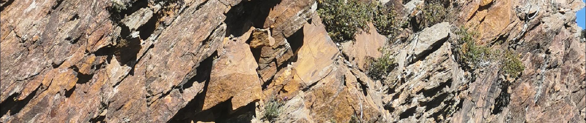
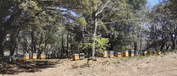
Rando trés agréable, sans réelles difficultés, avec de magnifiques paysages au cœur des Maures.
Photos


36 photos in total. Please click on a photo to see them all in the gallery.

Positioning
Country:
France
Region :
Provence-Alpes-Côte d'Azur
Department/Province :
Var
Municipality :
Gonfaron
Location:
Unknown
Start:(Dec)
Start:(UTM)
283064 ; 4795722 (32T) N.
Comments