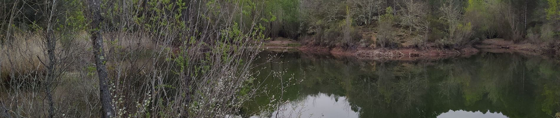
les escolles bagnol en foret

Michel DUBOIS
User
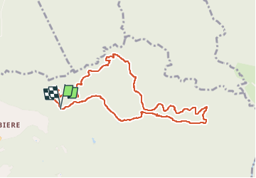

Length
10.2 km

Max alt
347 m

Uphill gradient
382 m
Km-Effort
15.3 km

Min alt
176 m

Downhill gradient
378 m
Boucle
Yes
Creation date :
2023-04-17 06:37:54.439
Updated on :
2023-04-17 10:03:17.886
2h29
Difficulty : Easy

FREE GPS app for hiking
 SityTrail
IGN / Geographical institutes
SityTrail Plus
The world is yours!
About
Trail Walking of 10.2 km to be discovered at Provence-Alpes-Côte d'Azur, Var, Bagnols-en-Forêt. This trail is proposed by Michel DUBOIS.
Photos

Positioning
Country:
France
Region :
Provence-Alpes-Côte d'Azur
Department/Province :
Var
Municipality :
Bagnols-en-Forêt
Location:
Unknown
Start:(Dec)
Start:(UTM)
316468 ; 4823964 (32T) N.
Comments