


Cret de hauterive

pjoly
User
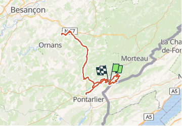

Length
166 km

Max alt
1211 m

Uphill gradient
2974 m
Km-Effort
206 km

Min alt
511 m

Downhill gradient
2994 m
Boucle
No
Creation date :
2023-04-17 15:46:26.637
Updated on :
2023-04-19 21:35:17.995
25h31
Difficulty : Medium

FREE GPS app for hiking
 SityTrail
IGN / Geographical institutes
SityTrail Plus
The world is yours!
About
Trail Mountain bike of 166 km to be discovered at Bourgogne-Franche-Comté, Doubs, Montbenoît. This trail is proposed by pjoly.
Positioning
Country:
France
Region :
Bourgogne-Franche-Comté
Department/Province :
Doubs
Municipality :
Montbenoît
Location:
Unknown
Start:(Dec)
Start:(UTM)
307850 ; 5205687 (32T) N.
Comments