


Chapelle_Agnon_Pierre_Blanche

jagarnier
User GUIDE
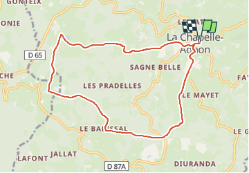

Length
9.2 km

Max alt
959 m

Uphill gradient
290 m
Km-Effort
13.1 km

Min alt
718 m

Downhill gradient
289 m
Boucle
Yes
Creation date :
2023-04-23 09:28:16.856
Updated on :
2023-04-24 08:41:06.099
2h45
Difficulty : Medium

FREE GPS app for hiking
 SityTrail
IGN / Geographical institutes
SityTrail Plus
The world is yours!
About
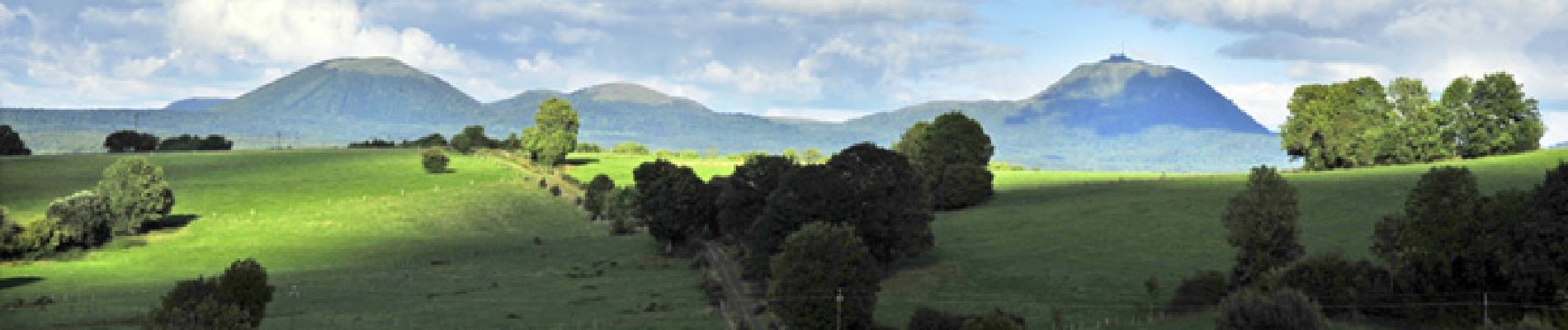
Trail Walking of 9.2 km to be discovered at Auvergne-Rhône-Alpes, Puy-de-Dôme, La Chapelle-Agnon. This trail is proposed by jagarnier.
Photos

Positioning
Country:
France
Region :
Auvergne-Rhône-Alpes
Department/Province :
Puy-de-Dôme
Municipality :
La Chapelle-Agnon
Location:
Unknown
Start:(Dec)
Start:(UTM)
549808 ; 5053485 (31T) N.
Comments