


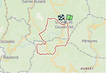

16.1 km | 24 km-effort

User


FREE GPS app for hiking
 SityTrail
IGN / Geographical institutes
SityTrail World
The world is yours!
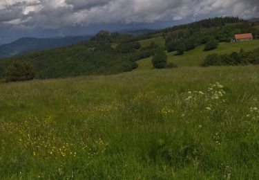
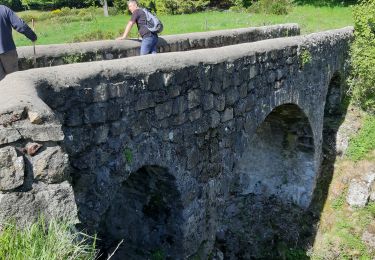
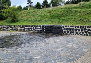
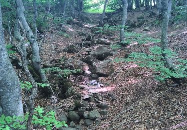
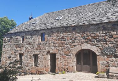
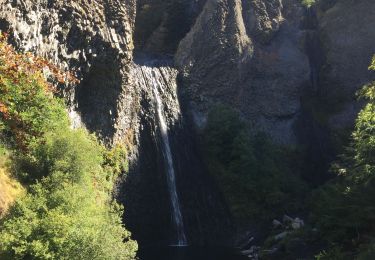
Trail Walking of 13 km to be discovered at Auvergne-Rhône-Alpes, Ardèche. This trail is proposed by coureursdecretes.
Rando du 24/04/2023 Sans difficultés


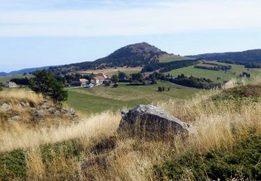
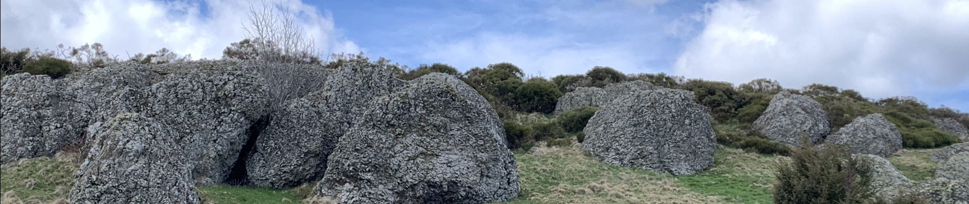
Walking
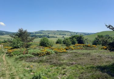
Walking
Walking
Walking
Walking
Walking
Walking

Walking