


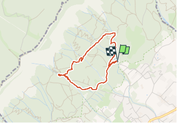

8.2 km | 17.7 km-effort

User


FREE GPS app for hiking
 SityTrail
IGN / Geographical institutes
SityTrail World
The world is yours!
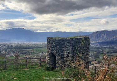
Trail Walking of 3.3 km to be discovered at Auvergne-Rhône-Alpes, Isère, Biviers. This trail is proposed by NANE51.
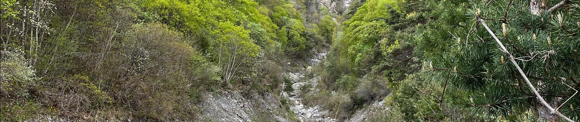
Départ du Château d’Eau mais possibilité de se garer un peu plus haut. Pique nique au torrent.


Walking
Walking

Walking

On foot

Mountain bike
Walking
Walking
Walking
Walking