


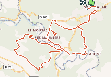

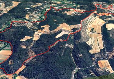
16.5 km | 23 km-effort

User


FREE GPS app for hiking
 SityTrail
IGN / Geographical institutes
SityTrail World
The world is yours!
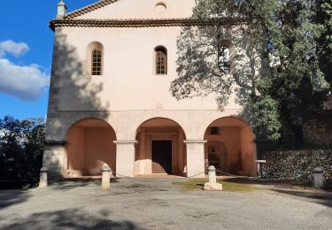
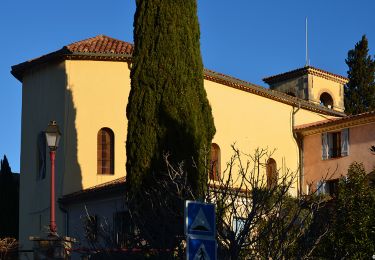
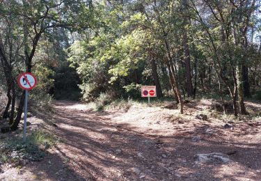
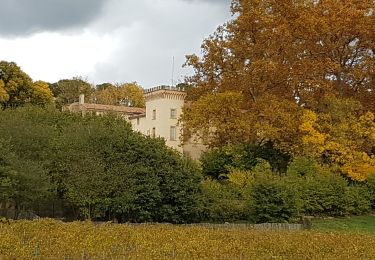
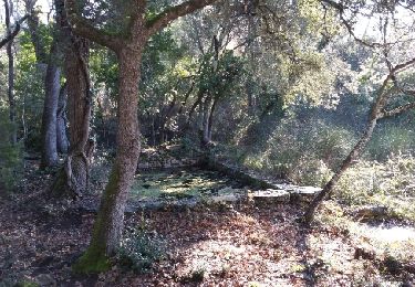
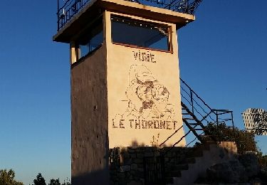
Trail of 18.1 km to be discovered at Provence-Alpes-Côte d'Azur, Var, Lorgues. This trail is proposed by nijhoff@lyts.nl.


Walking
Walking
Walking


sport
Walking
Walking
Walking
Walking
Nordic walking