


Chantemerle Grignan

GOIOLIRIBES
User
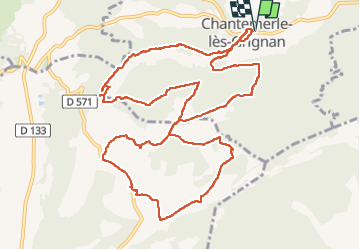

Length
14.7 km

Max alt
354 m

Uphill gradient
246 m
Km-Effort
18 km

Min alt
205 m

Downhill gradient
246 m
Boucle
Yes
Creation date :
2023-04-27 07:27:40.655
Updated on :
2024-10-13 13:49:22.709
5h01
Difficulty : Medium

FREE GPS app for hiking
 SityTrail
IGN / Geographical institutes
SityTrail Plus
The world is yours!
About
Trail Walking of 14.7 km to be discovered at Auvergne-Rhône-Alpes, Drôme, Chantemerle-lès-Grignan. This trail is proposed by GOIOLIRIBES.
Description
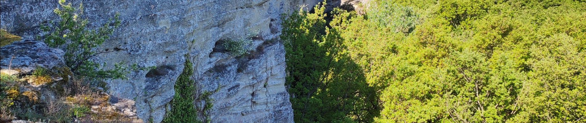
très belle rando - faite en avril 2023 en petit comité (7 pers.).
Bel emplacement pour pique niquer juste après les Plantiers.
Photos


Positioning
Country:
France
Region :
Auvergne-Rhône-Alpes
Department/Province :
Drôme
Municipality :
Chantemerle-lès-Grignan
Location:
Unknown
Start:(Dec)
Start:(UTM)
646278 ; 4918292 (31T) N.
Comments