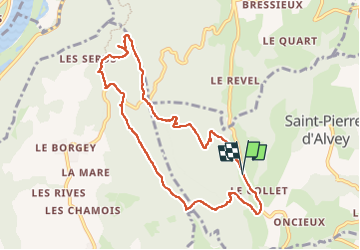
Mont Tournier pierre vire-28-04-23

papou73
User

Length
9.1 km

Max alt
874 m

Uphill gradient
280 m
Km-Effort
12.9 km

Min alt
657 m

Downhill gradient
284 m
Boucle
Yes
Creation date :
2023-04-28 11:32:30.905
Updated on :
2023-04-28 14:46:11.342
3h12
Difficulty : Difficult

FREE GPS app for hiking
 SityTrail
IGN / Geographical institutes
SityTrail Plus
The world is yours!
About
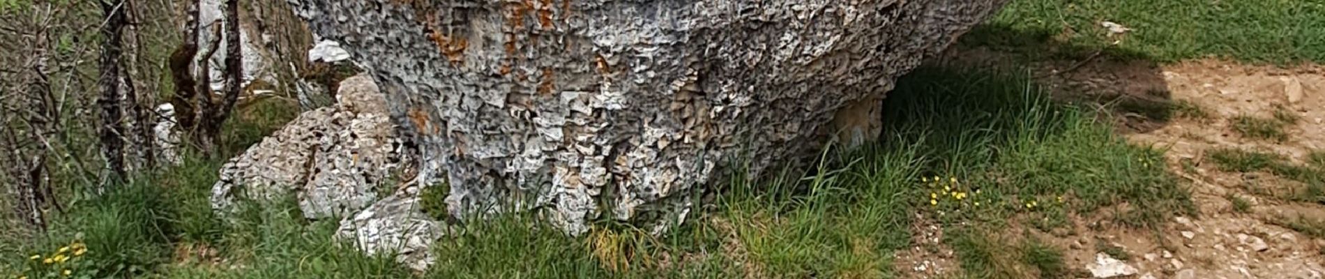
Trail Walking of 9.1 km to be discovered at Auvergne-Rhône-Alpes, Savoy, Saint-Pierre-d'Alvey. This trail is proposed by papou73.
Photos


Positioning
Country:
France
Region :
Auvergne-Rhône-Alpes
Department/Province :
Savoy
Municipality :
Saint-Pierre-d'Alvey
Location:
Unknown
Start:(Dec)
Start:(UTM)
712540 ; 5055990 (31T) N.
Comments