


Marche Adeps à Tongrinne - Sombreffe

Desrumaux
User GUIDE
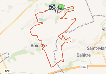

Length
11.3 km

Max alt
165 m

Uphill gradient
137 m
Km-Effort
13.2 km

Min alt
119 m

Downhill gradient
143 m
Boucle
Yes
Creation date :
2023-04-30 08:51:23.829
Updated on :
2024-04-25 16:19:07.365
2h59
Difficulty : Difficult

FREE GPS app for hiking
 SityTrail
IGN / Geographical institutes
SityTrail Plus
The world is yours!
About
Trail Walking of 11.3 km to be discovered at Wallonia, Namur, Sombreffe. This trail is proposed by Desrumaux.
Description
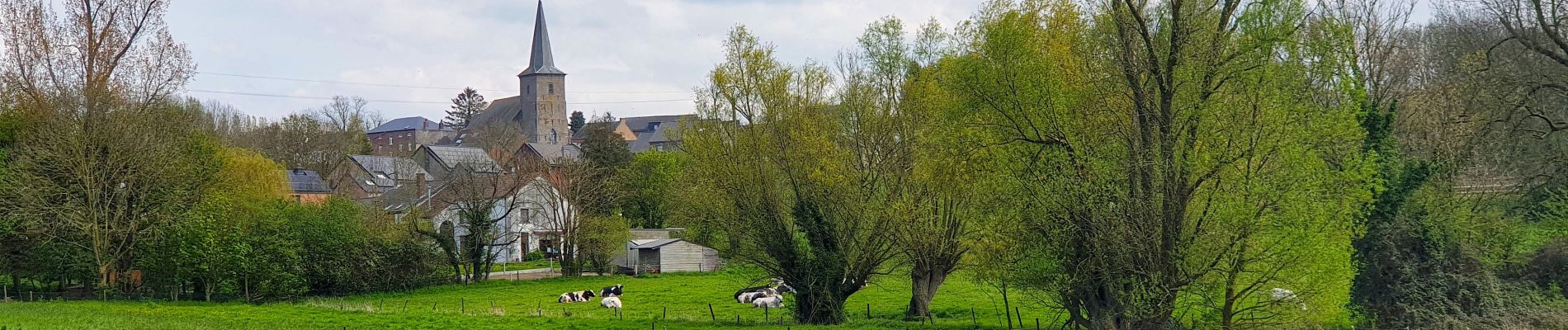
Jolie balade dans la belle campagne de l'entité de Sombreffe au départ du village de Tongrinne vers le village de Boignée.
Départ: rue Maréchal juin école communal ou église de Tongrinne.
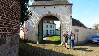
Photos


Positioning
Country:
Belgium
Region :
Wallonia
Department/Province :
Namur
Municipality :
Sombreffe
Location:
Unknown
Start:(Dec)
Start:(UTM)
615055 ; 5597000 (31U) N.
Comments