


36 km | 46 km-effort


User


FREE GPS app for hiking
 SityTrail
IGN / Geographical institutes
SityTrail World
The world is yours!
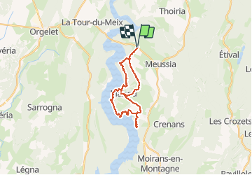
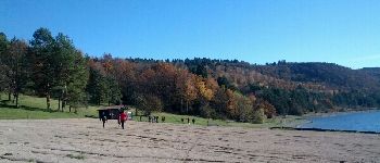
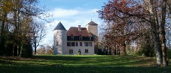
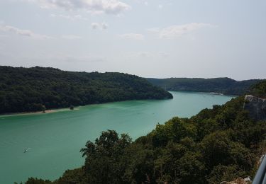
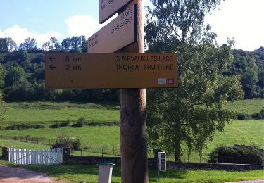
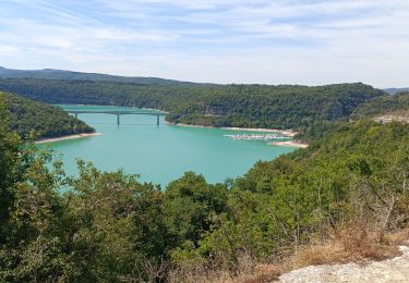
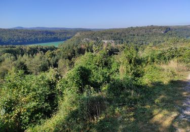
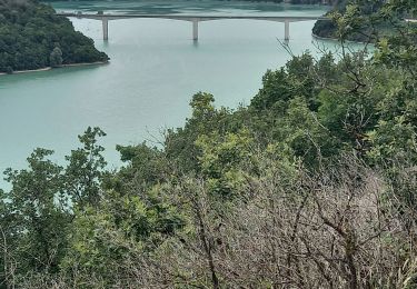
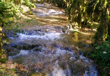
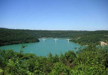
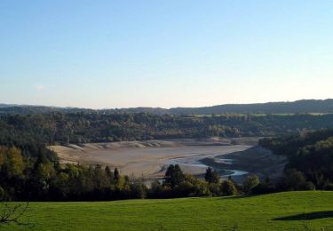
Trail Walking of 23 km to be discovered at Bourgogne-Franche-Comté, Jura, Coyron. This trail is proposed by albert39.
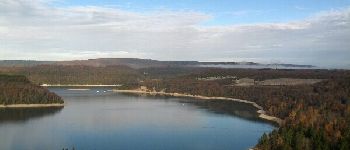
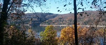
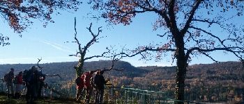
Sortie RSGD, groupe de 18, animateur Michel, facile et sympas. Belle journée ensoleillée.


Mountain bike
Walking
Walking
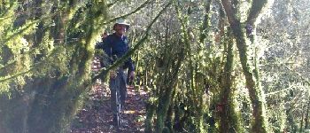
Mountain bike
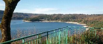
Walking
Walking
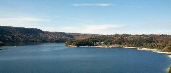
Walking
Mountain bike
Cycle