Trail Walking Steenvoorde - Départ Steenvoorde arrivée CampingLa ferme des Saules - Photo

Départ Steenvoorde arrivée CampingLa ferme des Saules

 jeff2
jeff2

User

© OpenStreetMap contributors
Length
Length
28 km
Max alt
Max alt
164 m
Uphill gradient
Uphill gradient
293 m
Km-Effort
Km-Effort  
32 km
Min alt
Min alt
23 m
Downhill gradient
Downhill gradient
303 m
Boucle
Boucle
No
Creation date :
2023-05-02 05:03:04.667
Updated on :
2023-05-02 15:17:04.134

(0 Reviews)

Walking
Walking
8h47
Difficulty : Medium

Scan this QR Code to open this trail in the SityTrail application

FREE GPS app for hiking

Logo SityTrail SityTrail

IGN / Geographical institutes

Download SityTrail from the App Store Download SityTrail from Google Play

Logo SityTrail SityTrail World

The world is yours!

Download SityTrail from the App Store Download SityTrail from Google Play Download SityTrail on Huawei AppGallery

About

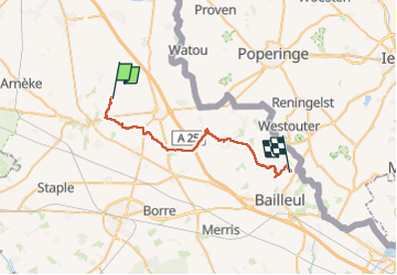
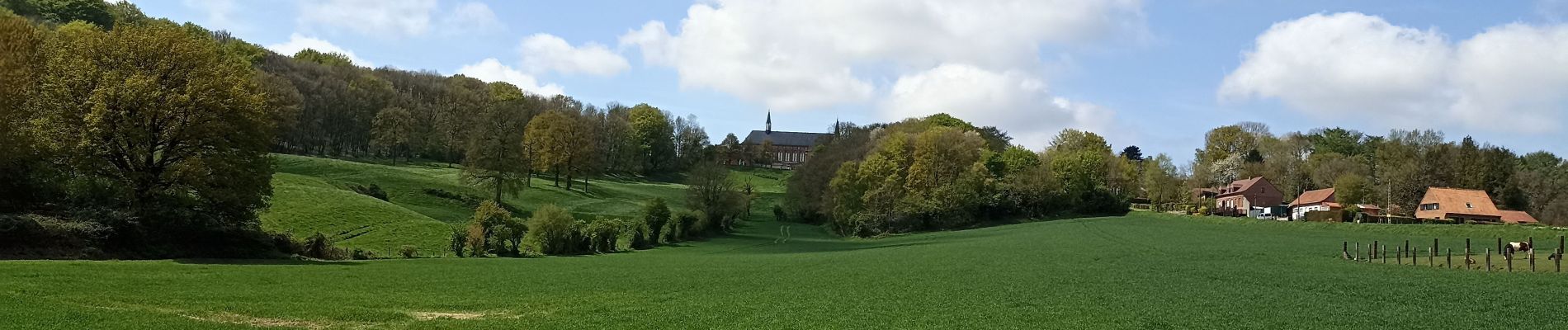
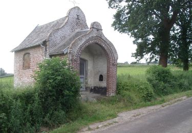
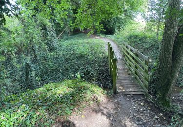
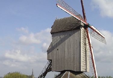
Trail Walking of 28 km to be discovered at Hauts-de-France, Nord, Steenvoorde. This trail is proposed by jeff2.

Description

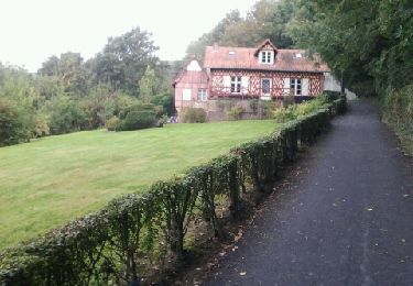
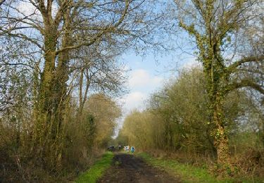
7H00 Départ du camping Le Romantic, puis passage à côté Steenvorde, Terdeghem, Eecke, Godewaersvelde, Abbaye au Mont des Cats, Berthen, Camping de la Ferme des Saules, à 3 kms de Bailleul.

Elevation profile

Photos

Positioning

Country:
France
Region :
Hauts-de-France
Department/Province :
Nord
Municipality :
Steenvoorde
Location:
Unknown
Start:(UTM)
466709 ; 5629921 (31U) N.

Trails nearby

Trail Walking Eecke - Circuit du Klockhuis (Grande boucle) - Eecke - Photo
Walking
tracegps

Walking

Difficult
(2)
Eecke, Hauts-de-France, Nord, France
15 km | 16.5 km-effort
3h 45min
Yes
Trail Walking Cassel - Circuit d'Oxelaëre - Cassel - Photo
Walking
tracegps

Walking

Easy
(1)
Cassel, Hauts-de-France, Nord, France
6.4 km | 8.4 km-effort
1h 34min
Yes
Trail Walking Cassel - Cassel Terdeghem 15 km - Photo
Walking
GUIDE
rvapeldo

Walking

Medium
Cassel, Hauts-de-France, Nord, France
16.2 km | 19.5 km-effort
4h 23min
Yes
Trail Walking Steenvoorde - Steenvorde Cassel 17 km - Photo
Walking
GUIDE
rvapeldo

Walking

Very difficult
Steenvoorde, Hauts-de-France, Nord, France
17 km | 19.9 km-effort
4h 31min
Yes
Trail Walking Steenvoorde - Steenvoorde 20 km - Photo
Walking
GUIDE
rvapeldo

Walking

Medium
Steenvoorde, Hauts-de-France, Nord, France
20 km | 24 km-effort
5h 44min
Yes
Trail Equestrian Oudezeele - La ronde des moulins à vent - Oudezeele - Photo
Equestrian
tracegps

Equestrian

Difficult
Oudezeele, Hauts-de-France, Nord, France
39 km | 41 km-effort
5h 45min
Yes
Trail Running Sainte-Marie-Cappel - Ste marie Cappel - Mont Cassel - Photo
Running
jamboxland

Running

Easy
Sainte-Marie-Cappel, Hauts-de-France, Nord, France
14.5 km | 17.9 km-effort
1h 31min
Yes
Trail Walking Cassel - Cassel, par rues et ruelles - Photo
Walking

Walking

Very easy
Cassel, Hauts-de-France, Nord, France
3.4 km | 4.3 km-effort
Unknown
Yes
Trail Walking Eecke - Circuit du Klockhuis (Petite boucle) - Eecke - Photo
Walking
tracegps

Walking

Medium
Eecke, Hauts-de-France, Nord, France
10.2 km | 11.7 km-effort
2h 30min
Yes


Close
My subscriptions