


Saint Aubin Auxey duresses Roger page 15

grasgilbert
User
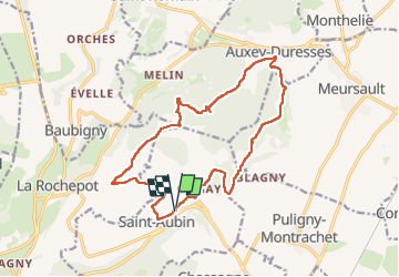

Length
16.4 km

Max alt
484 m

Uphill gradient
424 m
Km-Effort
22 km

Min alt
259 m

Downhill gradient
424 m
Boucle
Yes
Creation date :
2023-05-04 07:14:38.025
Updated on :
2024-04-25 16:43:48.546
5h01
Difficulty : Very difficult

FREE GPS app for hiking
 SityTrail
IGN / Geographical institutes
SityTrail Plus
The world is yours!
About
Trail Walking of 16.4 km to be discovered at Bourgogne-Franche-Comté, Côte-d'Or, Saint-Aubin. This trail is proposed by grasgilbert.
Description
faire essai à l'envers
Positioning
Country:
France
Region :
Bourgogne-Franche-Comté
Department/Province :
Côte-d'Or
Municipality :
Saint-Aubin
Location:
Unknown
Start:(Dec)
Start:(UTM)
630484 ; 5201312 (31T) N.
Comments
tres agréable.