


Le Pas de la Frache

stef789
User GUIDE
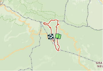

Length
9.8 km

Max alt
1587 m

Uphill gradient
356 m
Km-Effort
14.6 km

Min alt
1249 m

Downhill gradient
358 m
Boucle
Yes
Creation date :
2023-05-05 11:05:52.883
Updated on :
2023-05-05 15:26:01.865
4h19
Difficulty : Medium

FREE GPS app for hiking
 SityTrail
IGN / Geographical institutes
SityTrail Plus
The world is yours!
About
Trail Walking of 9.8 km to be discovered at Provence-Alpes-Côte d'Azur, Vaucluse, Aurel. This trail is proposed by stef789.
Description
d´après le p´tit crapahut - Pays du Ventoux Dentelles de Montmirail
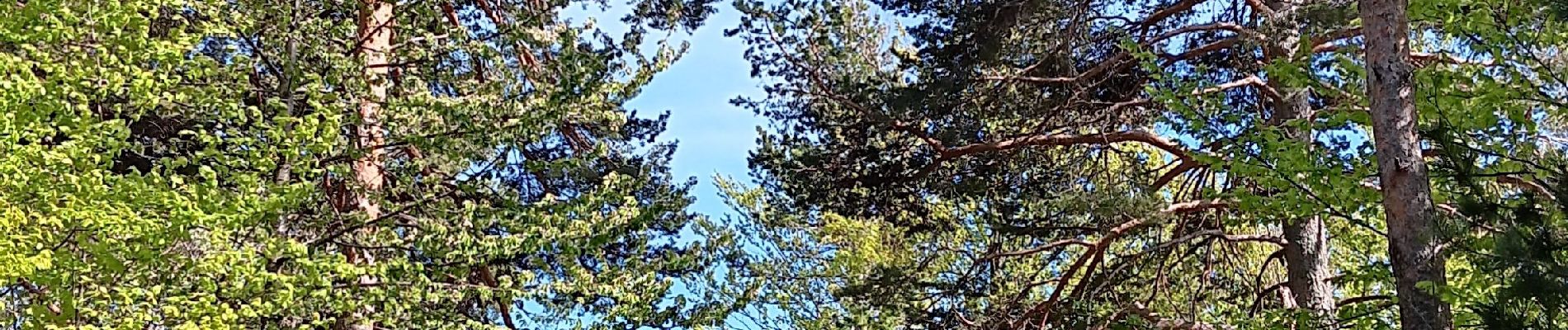
Photos


25 photos in total. Please click on a photo to see them all in the gallery.
Positioning
Country:
France
Region :
Provence-Alpes-Côte d'Azur
Department/Province :
Vaucluse
Municipality :
Aurel
Location:
Unknown
Start:(Dec)
Start:(UTM)
687464 ; 4890225 (31T) N.
Comments