


2023-05-05_20h59m57_J2 ROCHER PARQUET MODIFIE

okfred26
User
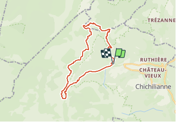

Length
16.7 km

Max alt
2016 m

Uphill gradient
1052 m
Km-Effort
31 km

Min alt
1064 m

Downhill gradient
1054 m
Boucle
Yes
Creation date :
2023-05-05 18:59:57.936
Updated on :
2023-06-05 17:54:46.282
6h59
Difficulty : Very difficult

FREE GPS app for hiking
 SityTrail
IGN / Geographical institutes
SityTrail Plus
The world is yours!
About
Trail Walking of 16.7 km to be discovered at Auvergne-Rhône-Alpes, Isère, Chichilianne. This trail is proposed by okfred26.
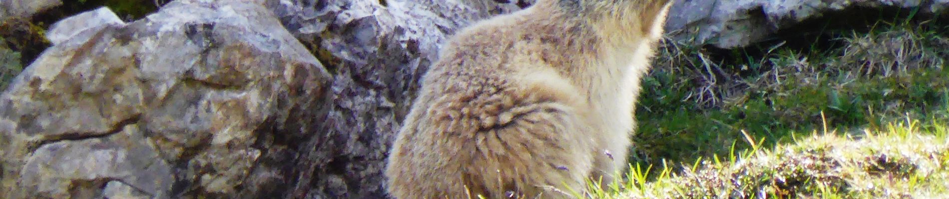
Photos


Positioning
Country:
France
Region :
Auvergne-Rhône-Alpes
Department/Province :
Isère
Municipality :
Chichilianne
Location:
Unknown
Start:(Dec)
Start:(UTM)
701241 ; 4966424 (31T) N.
Comments