


La Jarjatte Le Charnier

Atchoum26
User


Length
18.3 km

Max alt
2107 m

Uphill gradient
1324 m
Km-Effort
34 km

Min alt
1215 m

Downhill gradient
859 m
Boucle
No
Creation date :
2023-04-30 07:02:29.863
Updated on :
2023-05-06 08:23:31.192
8h00
Difficulty : Difficult

FREE GPS app for hiking
 SityTrail
IGN / Geographical institutes
SityTrail Plus
The world is yours!
About
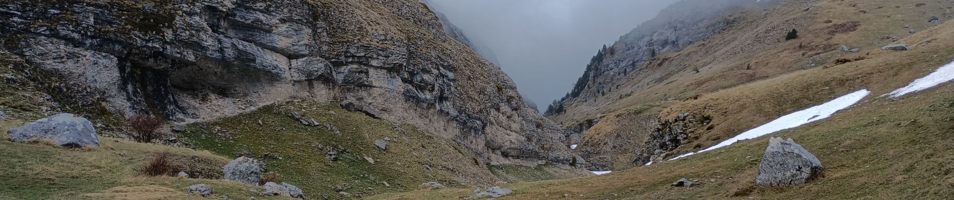
Trail Walking of 18.3 km to be discovered at Auvergne-Rhône-Alpes, Drôme, Lus-la-Croix-Haute. This trail is proposed by Atchoum26.
Photos


Positioning
Country:
France
Region :
Auvergne-Rhône-Alpes
Department/Province :
Drôme
Municipality :
Lus-la-Croix-Haute
Location:
Unknown
Start:(Dec)
Start:(UTM)
720245 ; 4952414 (31T) N.
Comments