


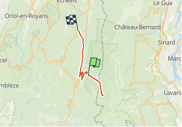
La Coche
© OpenStreetMap contributors


3h04
Difficulty : Difficult


Length
31 km
Max alt
1587 m
Uphill gradient
402 m
Km-Effort
38 km
Min alt
786 m
Downhill gradient
883 m
Boucle
No
Creation date :
2023-05-07 07:26:23.0
Updated on :
2023-05-07 11:51:26.768
3h04
Difficulty : Difficult
FREE GPS app for hiking
 SityTrail
IGN / Geographical institutes
SityTrail Plus
The world is yours!
About
Trail Walking of 31 km to be discovered at Auvergne-Rhône-Alpes, Drôme, Saint-Agnan-en-Vercors. This trail is proposed by 000151.528cee2ba5ea499bb7720e62b4a3eb52.0056.
Description
.
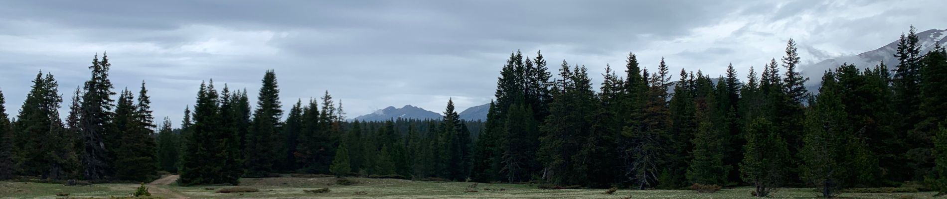
Photos


Positioning
Country:
France
Region :
Auvergne-Rhône-Alpes
Department/Province :
Drôme
Municipality :
Saint-Agnan-en-Vercors
Location:
Unknown
Start:(Dec)
Start:(UTM)
692855 ; 4973177 (31T) N.
Comments