


rorschwihr ac3

colsonandre
User
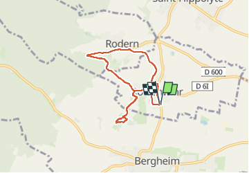

Length
6.8 km

Max alt
351 m

Uphill gradient
180 m
Km-Effort
9.2 km

Min alt
235 m

Downhill gradient
180 m
Boucle
Yes
Creation date :
2023-05-08 05:42:50.254
Updated on :
2023-05-08 09:38:23.605
3h54
Difficulty : Medium

FREE GPS app for hiking
 SityTrail
IGN / Geographical institutes
SityTrail Plus
The world is yours!
About
Trail Walking of 6.8 km to be discovered at Grand Est, Haut-Rhin, Rorschwihr. This trail is proposed by colsonandre.
Description
très belle
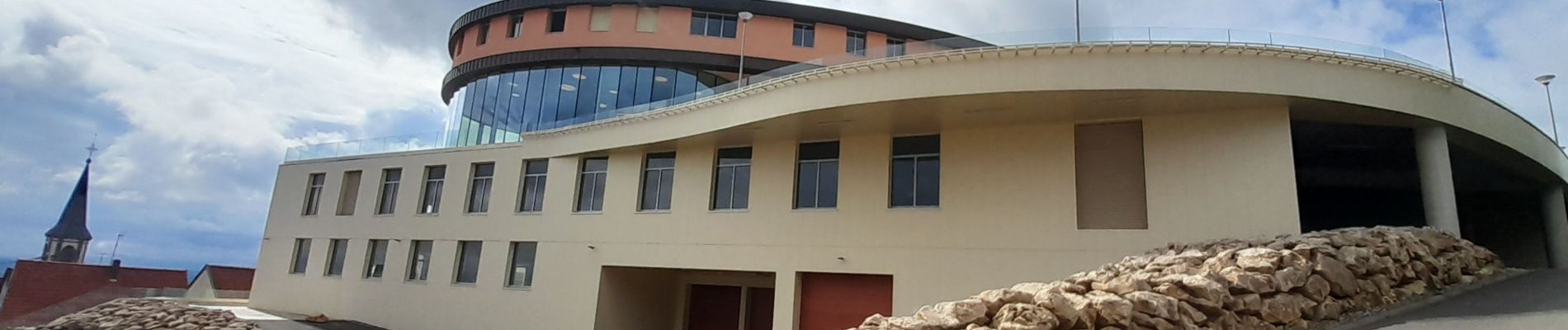
Photos


Positioning
Country:
France
Region :
Grand Est
Department/Province :
Haut-Rhin
Municipality :
Rorschwihr
Location:
Unknown
Start:(Dec)
Start:(UTM)
378395 ; 5341494 (32U) N.
Comments