


La Beucheraie-Antrain-La Rue-Tremblay 19km JY

COGLAIS3
User
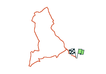

Length
19 km

Max alt
108 m

Uphill gradient
250 m
Km-Effort
22 km

Min alt
11 m

Downhill gradient
247 m
Boucle
Yes
Creation date :
2023-05-09 06:14:03.961
Updated on :
2024-02-18 11:27:21.095
3h34
Difficulty : Easy

FREE GPS app for hiking
 SityTrail
IGN / Geographical institutes
SityTrail Plus
The world is yours!
About
Trail Nordic walking of 19 km to be discovered at Brittany, Ille-et-Vilaine, Val-Couesnon. This trail is proposed by COGLAIS3.
Positioning
Country:
France
Region :
Brittany
Department/Province :
Ille-et-Vilaine
Municipality :
Val-Couesnon
Location:
Tremblay
Start:(Dec)
Start:(UTM)
615621 ; 5364920 (30U) N.
Comments