


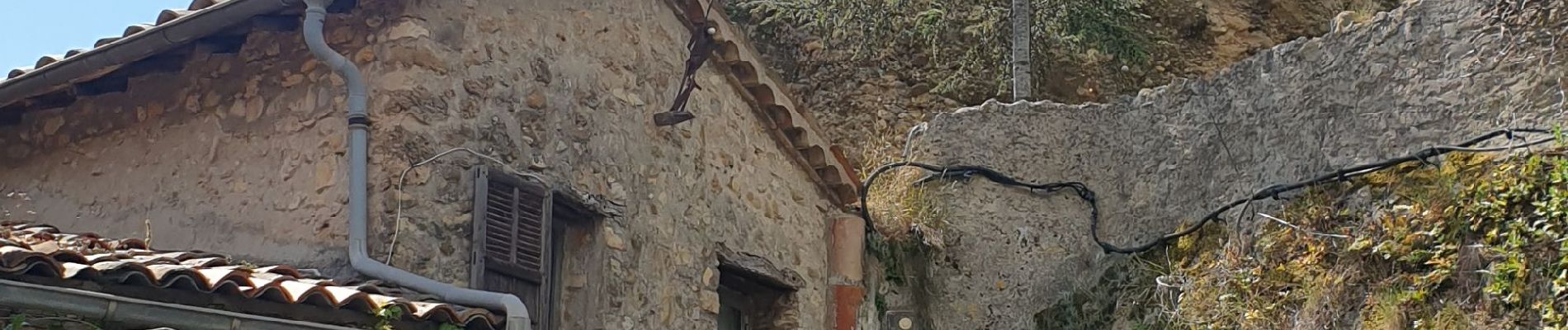
CG06 château de Roquebrune

winkelmuller
User
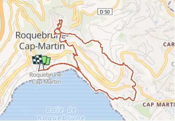

Length
6.2 km

Max alt
260 m

Uphill gradient
281 m
Km-Effort
10 km

Min alt
10 m

Downhill gradient
282 m
Boucle
Yes
Creation date :
2023-05-13 07:20:13.298
Updated on :
2023-05-13 10:11:54.718
2h50
Difficulty : Easy

FREE GPS app for hiking
 SityTrail
IGN / Geographical institutes
SityTrail Plus
The world is yours!
About
Trail Walking of 6.2 km to be discovered at Provence-Alpes-Côte d'Azur, Maritime Alps, Roquebrune-Cap-Martin. This trail is proposed by winkelmuller.
Photos


Positioning
Country:
France
Region :
Provence-Alpes-Côte d'Azur
Department/Province :
Maritime Alps
Municipality :
Roquebrune-Cap-Martin
Location:
Unknown
Start:(Dec)
Start:(UTM)
375718 ; 4846390 (32T) N.
Comments