


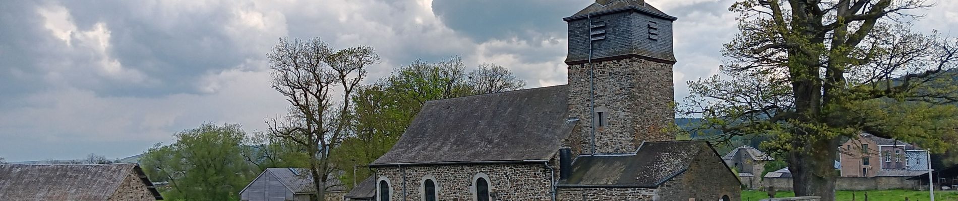
rahier monceau cheneux

stef789
User GUIDE
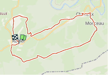

Length
11.7 km

Max alt
365 m

Uphill gradient
268 m
Km-Effort
15.3 km

Min alt
216 m

Downhill gradient
270 m
Boucle
Yes
Creation date :
2023-05-13 09:02:00.599
Updated on :
2023-05-13 12:53:25.172
3h50
Difficulty : Easy

FREE GPS app for hiking
 SityTrail
IGN / Geographical institutes
SityTrail Plus
The world is yours!
About
Trail Walking of 11.7 km to be discovered at Wallonia, Liège, Stoumont. This trail is proposed by stef789.
Photos


Positioning
Country:
Belgium
Region :
Wallonia
Department/Province :
Liège
Municipality :
Stoumont
Location:
Unknown
Start:(Dec)
Start:(UTM)
697546 ; 5585089 (31U) N.
Comments