


Omblèze-Canyon des gueulards-Drôme

ThierryJ01
User
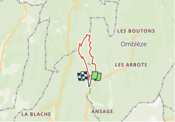

Length
7.7 km

Max alt
1015 m

Uphill gradient
460 m
Km-Effort
13.8 km

Min alt
601 m

Downhill gradient
460 m
Boucle
Yes
Creation date :
2023-05-15 20:57:38.413
Updated on :
2023-05-15 21:08:57.073
3h08
Difficulty : Difficult

FREE GPS app for hiking
 SityTrail
IGN / Geographical institutes
SityTrail Plus
The world is yours!
About
Trail Walking of 7.7 km to be discovered at Auvergne-Rhône-Alpes, Drôme, Omblèze. This trail is proposed by ThierryJ01.
Points of interest


Positioning
Country:
France
Region :
Auvergne-Rhône-Alpes
Department/Province :
Drôme
Municipality :
Omblèze
Location:
Unknown
Start:(Dec)
Start:(UTM)
672994 ; 4967671 (31T) N.
Comments