


Saint michel

raygautier
User

Length
21 km

Max alt
730 m

Uphill gradient
854 m
Km-Effort
33 km

Min alt
245 m

Downhill gradient
850 m
Boucle
Yes
Creation date :
2023-05-20 07:10:13.0
Updated on :
2023-05-20 12:19:30.198
5h08
Difficulty : Very difficult

FREE GPS app for hiking
 SityTrail
IGN / Geographical institutes
SityTrail Plus
The world is yours!
About
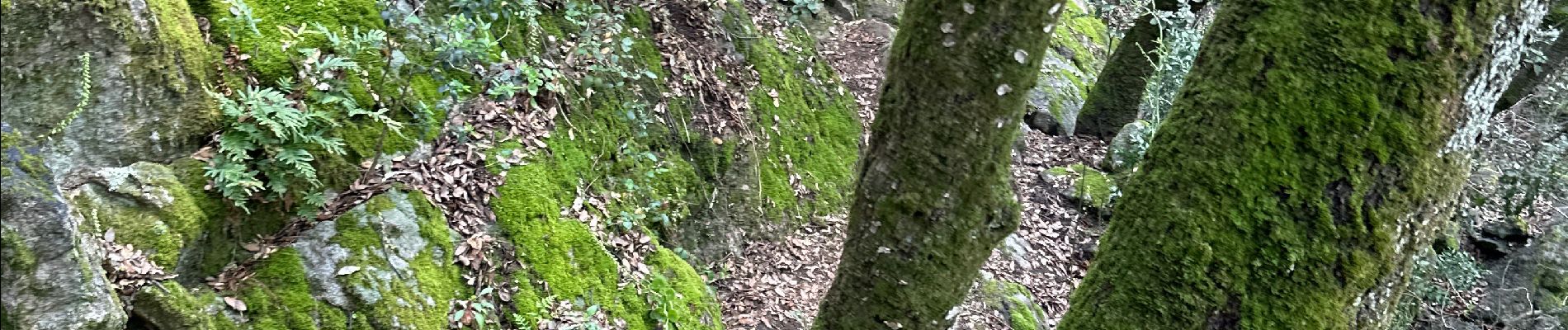
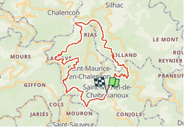
Trail Walking of 21 km to be discovered at Auvergne-Rhône-Alpes, Ardèche, Saint-Michel-de-Chabrillanoux. This trail is proposed by raygautier.
Photos

Positioning
Country:
France
Region :
Auvergne-Rhône-Alpes
Department/Province :
Ardèche
Municipality :
Saint-Michel-de-Chabrillanoux
Location:
Unknown
Start:(Dec)
Start:(UTM)
626646 ; 4966246 (31T) N.
Comments