Trail Walking Ronsenac - La boucle de Ronsenac - Photo

La boucle de Ronsenac

© OpenStreetMap contributors
Length
Length
8.4 km
Max alt
Max alt
147 m
Uphill gradient
Uphill gradient
123 m
Km-Effort
Km-Effort  
10 km
Min alt
Min alt
92 m
Downhill gradient
Downhill gradient
126 m
Boucle
Boucle
Yes
Creation date :
2023-05-21 07:50:40.458
Updated on :
2023-05-31 12:56:15.938

(1 Reviews)

Walking
Walking
2h16
Difficulty : Medium

Scan this QR Code to open this trail in the SityTrail application

FREE GPS app for hiking

Logo SityTrail SityTrail

IGN / Geographical institutes

Download SityTrail from the App Store Download SityTrail from Google Play

Logo SityTrail SityTrail Plus

The world is yours!

Download SityTrail from the App Store Download SityTrail from Google Play Download SityTrail on Huawei AppGallery

About

Trail Walking of 8.4 km to be discovered at New Aquitaine, Charente, Ronsenac. This trail is proposed by alainjoseph6.

Description

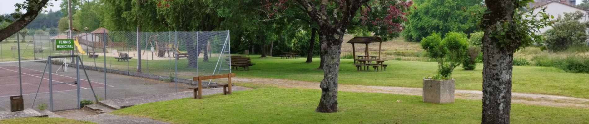
Au départ de l'aire de jeux et des tennis 🎾 vers la maison d'accueil familiale ,puis les Boubas - la Michelie et  retour vers Roncenac avec vue sur le château de Villebois Lavalette - arrivée dans Ronsenac vasite de l'église et de la fontaine Miraculeuse .

Elevation profile

Photos

Positioning

Country:
France
Region :
New Aquitaine
Department/Province :
Charente
Municipality :
Ronsenac
Location:
Unknown
Start:(UTM)
284967 ; 5039377 (31T) N.

Comments

Please log in to post a review or rate the element


Close
My subscriptions