


La Rock . bois de Comblain . Sparmont

stef789
User GUIDE
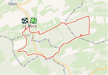

Length
9.3 km

Max alt
275 m

Uphill gradient
178 m
Km-Effort
11.7 km

Min alt
144 m

Downhill gradient
182 m
Boucle
Yes
Creation date :
2023-05-24 13:05:06.384
Updated on :
2023-05-24 15:35:00.825
2h20
Difficulty : Very easy

FREE GPS app for hiking
 SityTrail
IGN / Geographical institutes
SityTrail Plus
The world is yours!
About
Trail Walking of 9.3 km to be discovered at Wallonia, Liège, Anthisnes. This trail is proposed by stef789.
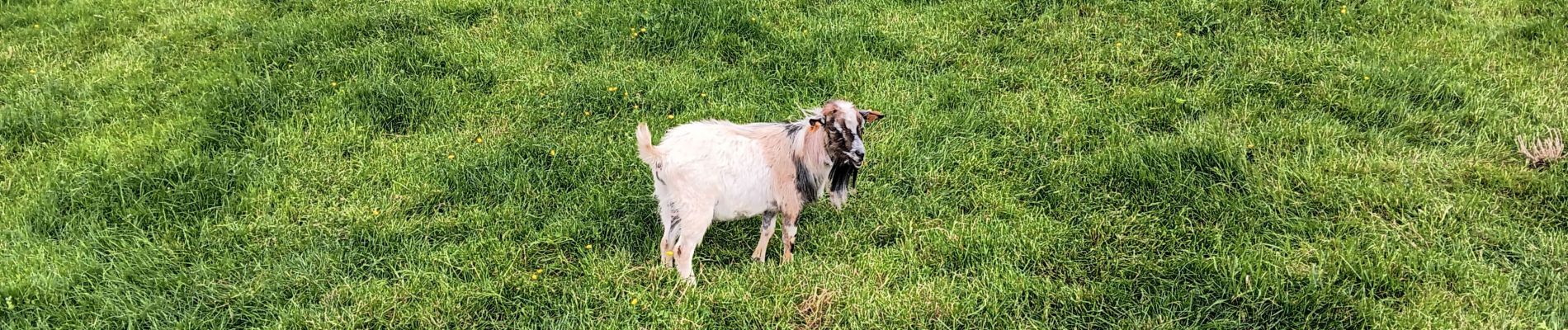
Photos


Positioning
Country:
Belgium
Region :
Wallonia
Department/Province :
Liège
Municipality :
Anthisnes
Location:
Unknown
Start:(Dec)
Start:(UTM)
678493 ; 5593372 (31U) N.
Comments