


col faucille colomby gex 05 2023

jacquesduchesne
User
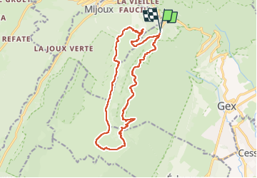

Length
17.3 km

Max alt
1681 m

Uphill gradient
844 m
Km-Effort
29 km

Min alt
1150 m

Downhill gradient
848 m
Boucle
Yes
Creation date :
2023-05-24 07:24:19.541
Updated on :
2023-05-24 18:51:12.433
6h14
Difficulty : Very difficult

FREE GPS app for hiking
 SityTrail
IGN / Geographical institutes
SityTrail Plus
The world is yours!
About
Trail Walking of 17.3 km to be discovered at Auvergne-Rhône-Alpes, Ain, Gex. This trail is proposed by jacquesduchesne.
Positioning
Country:
France
Region :
Auvergne-Rhône-Alpes
Department/Province :
Ain
Municipality :
Gex
Location:
Unknown
Start:(Dec)
Start:(UTM)
271205 ; 5138182 (32T) N.
Comments