


vers Montrisol d'Allier

CDSM 55
User
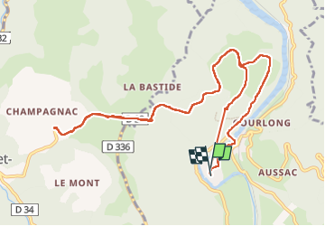

Length
12.9 km

Max alt
979 m

Uphill gradient
412 m
Km-Effort
18.4 km

Min alt
651 m

Downhill gradient
413 m
Boucle
Yes
Creation date :
2023-05-25 12:51:51.439
Updated on :
2023-05-25 17:14:18.444
2h37
Difficulty : Medium

FREE GPS app for hiking
 SityTrail
IGN / Geographical institutes
SityTrail Plus
The world is yours!
About
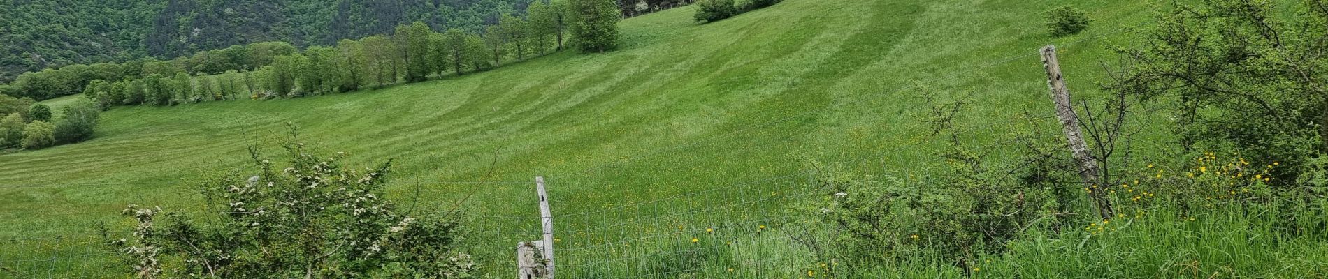
Trail Walking of 12.9 km to be discovered at Auvergne-Rhône-Alpes, Haute-Loire, Alleyras. This trail is proposed by CDSM 55.
Photos


Positioning
Country:
France
Region :
Auvergne-Rhône-Alpes
Department/Province :
Haute-Loire
Municipality :
Alleyras
Location:
Unknown
Start:(Dec)
Start:(UTM)
552693 ; 4973708 (31T) N.
Comments