


Col de l'Allimas

katiab
User
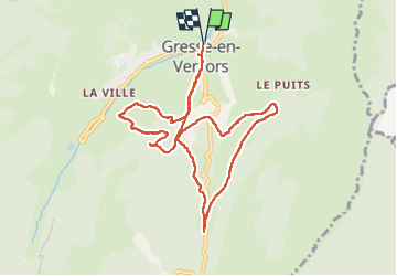

Length
10.1 km

Max alt
1372 m

Uphill gradient
314 m
Km-Effort
14.3 km

Min alt
1194 m

Downhill gradient
314 m
Boucle
Yes
Creation date :
2023-05-27 08:17:57.009
Updated on :
2023-05-27 12:06:09.214
3h12
Difficulty : Easy

FREE GPS app for hiking
 SityTrail
IGN / Geographical institutes
SityTrail Plus
The world is yours!
About
Trail Walking of 10.1 km to be discovered at Auvergne-Rhône-Alpes, Isère, Gresse-en-Vercors. This trail is proposed by katiab.
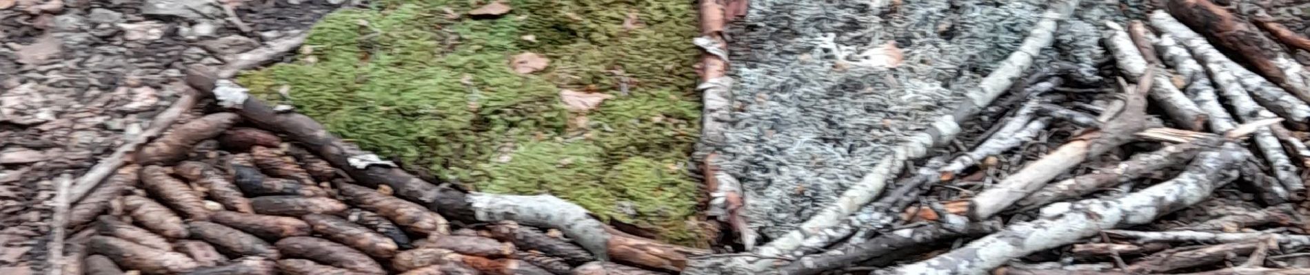
Photos


Positioning
Country:
France
Region :
Auvergne-Rhône-Alpes
Department/Province :
Isère
Municipality :
Gresse-en-Vercors
Location:
Unknown
Start:(Dec)
Start:(UTM)
702640 ; 4975319 (31T) N.
Comments