terril vicoigne

papiou
User
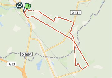

Length
8.7 km

Max alt
48 m

Uphill gradient
81 m
Km-Effort
9.7 km

Min alt
19 m

Downhill gradient
80 m
Boucle
Yes
Creation date :
2023-05-25 12:36:20.749
Updated on :
2023-05-27 13:52:59.114
2h00
Difficulty : Easy

FREE GPS app for hiking
 SityTrail
IGN / Geographical institutes
SityTrail Plus
The world is yours!
About
Trail Walking of 8.7 km to be discovered at Hauts-de-France, Nord, Saint-Amand-les-Eaux. This trail is proposed by papiou.
Description
rdv parking blockhaus NDA. passer sous le pont et partir à droite pour rejoindre les insurgés, aller jusqu'au terril, le monter par le côté le plus facile puis revenir par dreve des bruyères
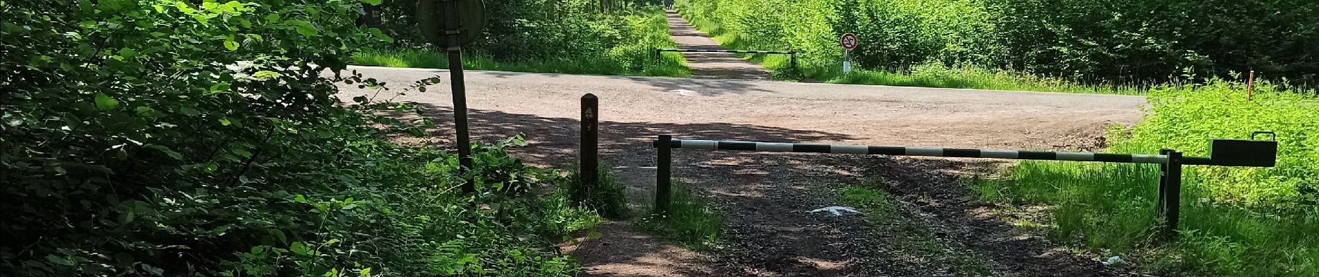
Photos


Positioning
Country:
France
Region :
Hauts-de-France
Department/Province :
Nord
Municipality :
Saint-Amand-les-Eaux
Location:
Unknown
Start:(Dec)
Start:(UTM)
531384 ; 5586265 (31U) N.
Comments