


rando Moselle orientation

Titinechris
User

Length
13.7 km

Max alt
528 m

Uphill gradient
328 m
Km-Effort
18 km

Min alt
304 m

Downhill gradient
321 m
Boucle
No
Creation date :
2023-05-28 07:34:13.341
Updated on :
2023-05-28 10:41:01.533
3h06
Difficulty : Difficult

FREE GPS app for hiking
 SityTrail
IGN / Geographical institutes
SityTrail Plus
The world is yours!
About
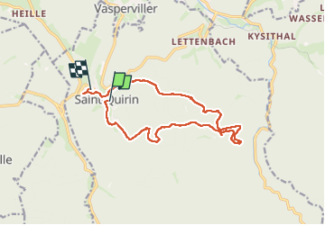
Trail Walking of 13.7 km to be discovered at Grand Est, Moselle, Saint-Quirin. This trail is proposed by Titinechris.
Positioning
Country:
France
Region :
Grand Est
Department/Province :
Moselle
Municipality :
Saint-Quirin
Location:
Unknown
Start:(Dec)
Start:(UTM)
357511 ; 5385785 (32U) N.
Comments