


Le signal

Sigmut
User

Length
8.7 km

Max alt
928 m

Uphill gradient
291 m
Km-Effort
12.6 km

Min alt
694 m

Downhill gradient
294 m
Boucle
Yes
Creation date :
2023-05-29 13:46:34.284
Updated on :
2023-05-29 16:42:19.971
2h21
Difficulty : Difficult

FREE GPS app for hiking
 SityTrail
IGN / Geographical institutes
SityTrail Plus
The world is yours!
About
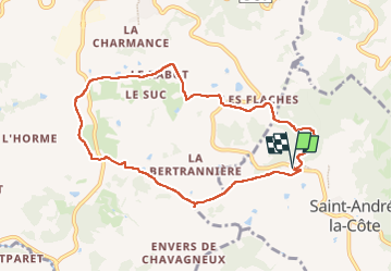
Trail Walking of 8.7 km to be discovered at Auvergne-Rhône-Alpes, Rhône, Saint-André-la-Côte. This trail is proposed by Sigmut.
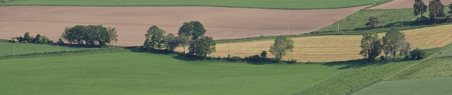
Photos


33 photos in total. Please click on a photo to see them all in the gallery.
Positioning
Country:
France
Region :
Auvergne-Rhône-Alpes
Department/Province :
Rhône
Municipality :
Saint-André-la-Côte
Location:
Unknown
Start:(Dec)
Start:(UTM)
623999 ; 5054788 (31T) N.
Comments