


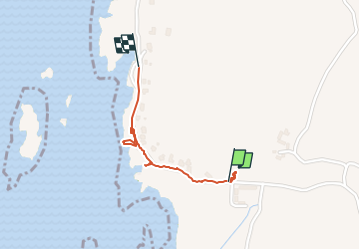

4 km | 4.3 km-effort

User


FREE GPS app for hiking
 SityTrail
IGN / Geographical institutes
SityTrail World
The world is yours!
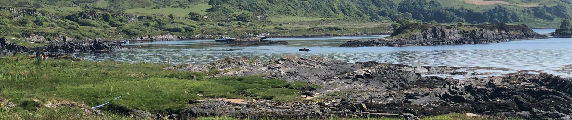
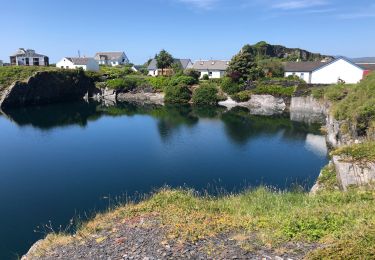
Trail Walking of 900 m to be discovered at Scotland, Argyll and Bute. This trail is proposed by francineposkin.
Sur l’île de Luing


Walking

Motor

Walking
Walking
Walking