


Ecosse Inveraray

francineposkin
User
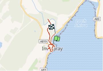

Length
5 km

Max alt
21 m

Uphill gradient
37 m
Km-Effort
5.5 km

Min alt
1 m

Downhill gradient
31 m
Boucle
No
Creation date :
2023-05-31 08:47:12.0
Updated on :
2023-05-31 11:34:32.473
1h40
Difficulty : Easy

FREE GPS app for hiking
 SityTrail
IGN / Geographical institutes
SityTrail World
The world is yours!
About
Trail Walking of 5 km to be discovered at Scotland, Argyll and Bute. This trail is proposed by francineposkin.
Description
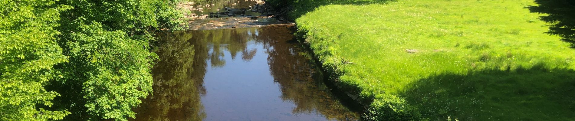
Superbe village, dommage château fermé
Photos


28 photos in total. Please click on a photo to see them all in the gallery.
Positioning
Country:
United Kingdom
Region :
Scotland
Department/Province :
Argyll and Bute
Municipality :
Unknown
Location:
Unknown
Start:(Dec)
Start:(UTM)
371531 ; 6233786 (30V) N.
Comments
Trails nearby