


cumieres

Divio
User

Length
9.6 km

Max alt
286 m

Uphill gradient
106 m
Km-Effort
11.3 km

Min alt
184 m

Downhill gradient
184 m
Boucle
No
Creation date :
2023-06-03 08:27:51.628
Updated on :
2023-06-03 11:02:15.325
2h33
Difficulty : Very easy

FREE GPS app for hiking
 SityTrail
IGN / Geographical institutes
SityTrail Plus
The world is yours!
About
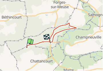
Trail Nordic walking of 9.6 km to be discovered at Grand Est, Meuse, Chattancourt. This trail is proposed by Divio.
Positioning
Country:
France
Region :
Grand Est
Department/Province :
Meuse
Municipality :
Chattancourt
Location:
Unknown
Start:(Dec)
Start:(UTM)
663907 ; 5455254 (31U) N.
Comments