


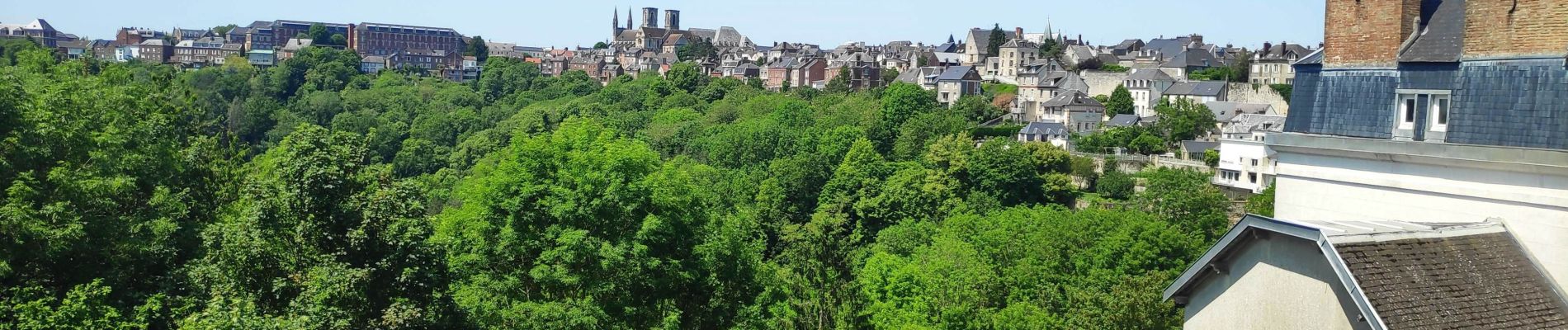
Laon cité médiévale

gdela
User
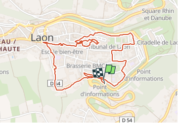

Length
2.8 km

Max alt
194 m

Uphill gradient
40 m
Km-Effort
3.3 km

Min alt
156 m

Downhill gradient
40 m
Boucle
Yes
Creation date :
2023-06-05 09:22:34.998
Updated on :
2023-06-05 11:08:40.342
47m
Difficulty : Easy

FREE GPS app for hiking
 SityTrail
IGN / Geographical institutes
SityTrail Plus
The world is yours!
About
Trail Walking of 2.8 km to be discovered at Hauts-de-France, Aisne, Laon. This trail is proposed by gdela.
Photos


Positioning
Country:
France
Region :
Hauts-de-France
Department/Province :
Aisne
Municipality :
Laon
Location:
Unknown
Start:(Dec)
Start:(UTM)
545270 ; 5490146 (31U) N.
Comments