


nebian villeneuvette

labarone
User
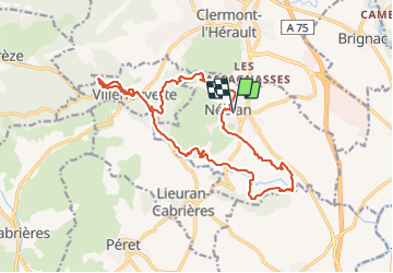

Length
19.7 km

Max alt
273 m

Uphill gradient
499 m
Km-Effort
26 km

Min alt
53 m

Downhill gradient
498 m
Boucle
Yes
Creation date :
2023-06-06 06:24:01.372
Updated on :
2023-06-06 12:49:42.91
5h52
Difficulty : Easy

FREE GPS app for hiking
 SityTrail
IGN / Geographical institutes
SityTrail Plus
The world is yours!
About
Trail Walking of 19.7 km to be discovered at Occitania, Hérault, Nébian. This trail is proposed by labarone.
Description
belle rando cool
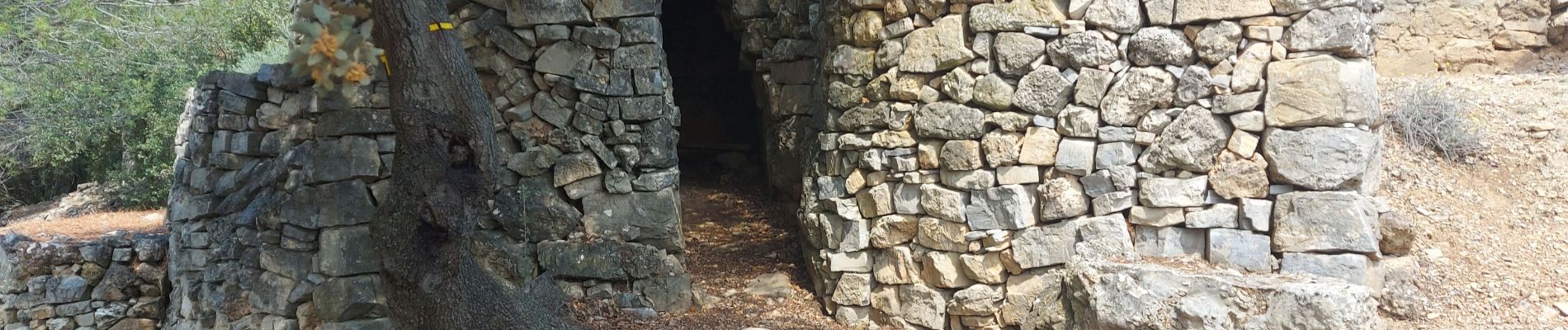
Photos


Positioning
Country:
France
Region :
Occitania
Department/Province :
Hérault
Municipality :
Nébian
Location:
Unknown
Start:(Dec)
Start:(UTM)
534854 ; 4828184 (31T) N.
Comments