


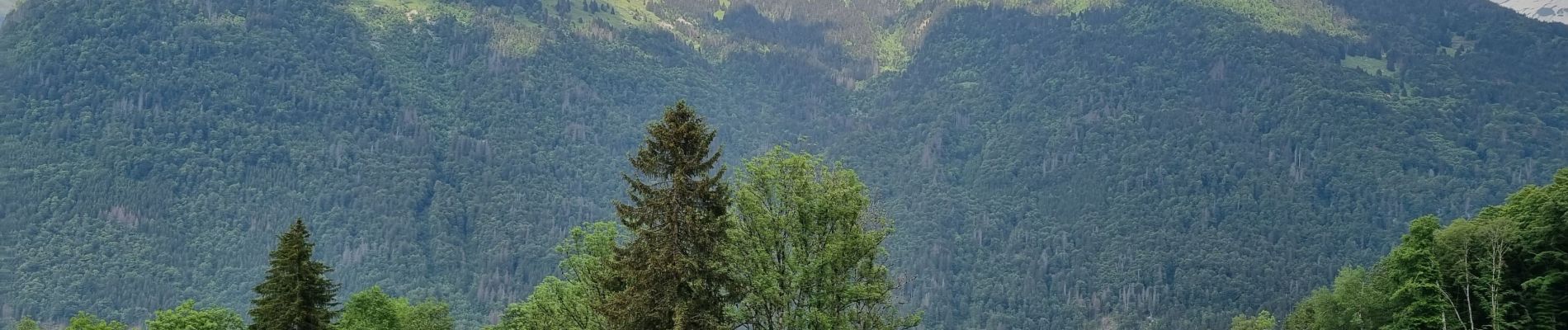
les chalets du Bémont et cascade du Nant d Ant

José800
User
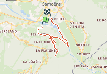

Length
6.7 km

Max alt
1019 m

Uphill gradient
275 m
Km-Effort
10.5 km

Min alt
703 m

Downhill gradient
326 m
Boucle
No
Creation date :
2023-06-07 12:23:02.683
Updated on :
2023-06-07 15:43:09.522
2h10
Difficulty : Medium

FREE GPS app for hiking
 SityTrail
IGN / Geographical institutes
SityTrail Plus
The world is yours!
About
Trail Walking of 6.7 km to be discovered at Auvergne-Rhône-Alpes, Upper Savoy, Samoëns. This trail is proposed by José800.
Description
une belle Randonnée forêts et alpages et beau panorama.
Photos


Positioning
Country:
France
Region :
Auvergne-Rhône-Alpes
Department/Province :
Upper Savoy
Municipality :
Samoëns
Location:
Unknown
Start:(Dec)
Start:(UTM)
323796 ; 5104824 (32T) N.
Comments