


st g

fario
User
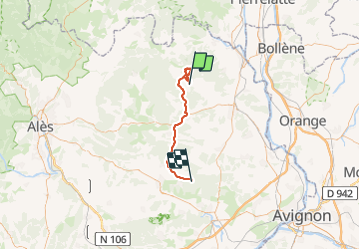

Length
46 km

Max alt
307 m

Uphill gradient
852 m
Km-Effort
57 km

Min alt
72 m

Downhill gradient
784 m
Boucle
No
Creation date :
2023-06-08 06:54:14.126
Updated on :
2023-10-15 17:53:48.743
13h03
Difficulty : Very difficult

FREE GPS app for hiking
 SityTrail
IGN / Geographical institutes
SityTrail Plus
The world is yours!
About
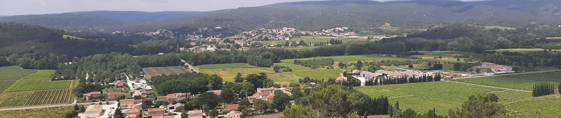
Trail Walking of 46 km to be discovered at Occitania, Gard, Cornillon. This trail is proposed by fario.
Photos


Positioning
Country:
France
Region :
Occitania
Department/Province :
Gard
Municipality :
Cornillon
Location:
Unknown
Start:(Dec)
Start:(UTM)
619360 ; 4896037 (31T) N.
Comments