


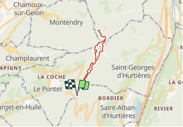

11.5 km | 19.5 km-effort


User


FREE GPS app for hiking
 SityTrail
IGN / Geographical institutes
SityTrail World
The world is yours!
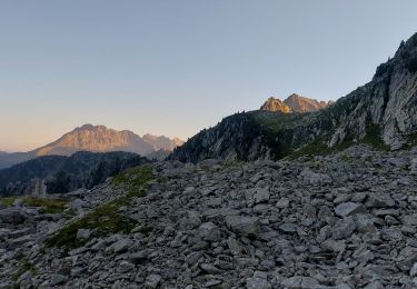
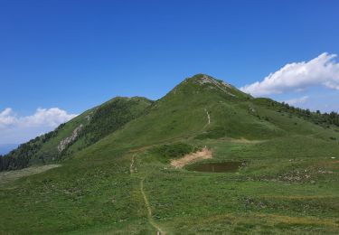
Trail Walking of 10.2 km to be discovered at Auvergne-Rhône-Alpes, Savoy, Saint-Alban-d'Hurtières. This trail is proposed by Frufin.
GV La Tronche 10 novembre
Walking
Walking
Walking
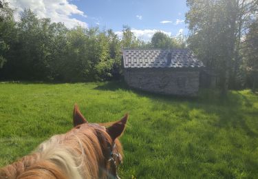
Horseback riding
Walking
Walking
Walking
Walking
Walking