


Rancoumas

MarcLEBARON
User
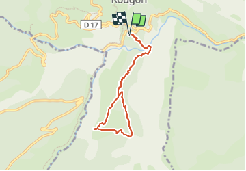

Length
7.4 km

Max alt
1065 m

Uphill gradient
534 m
Km-Effort
14.5 km

Min alt
624 m

Downhill gradient
531 m
Boucle
Yes
Creation date :
2023-06-14 06:44:31.146
Updated on :
2023-06-14 10:51:39.625
2h41
Difficulty : Medium

FREE GPS app for hiking
 SityTrail
IGN / Geographical institutes
SityTrail Plus
The world is yours!
About
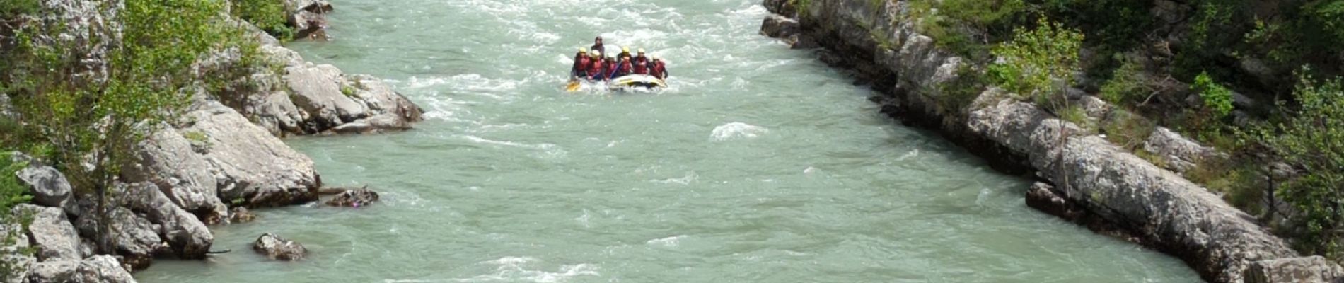
Trail Walking of 7.4 km to be discovered at Provence-Alpes-Côte d'Azur, Alpes-de-Haute-Provence, Rougon. This trail is proposed by MarcLEBARON.
Photos


Positioning
Country:
France
Region :
Provence-Alpes-Côte d'Azur
Department/Province :
Alpes-de-Haute-Provence
Municipality :
Rougon
Location:
Unknown
Start:(Dec)
Start:(UTM)
291000 ; 4852104 (32T) N.
Comments