Mittlach 17/06/23

fario
User
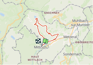

Length
11.4 km

Max alt
944 m

Uphill gradient
498 m
Km-Effort
18 km

Min alt
504 m

Downhill gradient
497 m
Boucle
Yes
Creation date :
2023-06-17 06:56:50.529
Updated on :
2023-08-16 13:47:29.596
3h35
Difficulty : Difficult

FREE GPS app for hiking
 SityTrail
IGN / Geographical institutes
SityTrail Plus
The world is yours!
About
Trail Walking of 11.4 km to be discovered at Grand Est, Haut-Rhin, Mittlach. This trail is proposed by fario.
Description
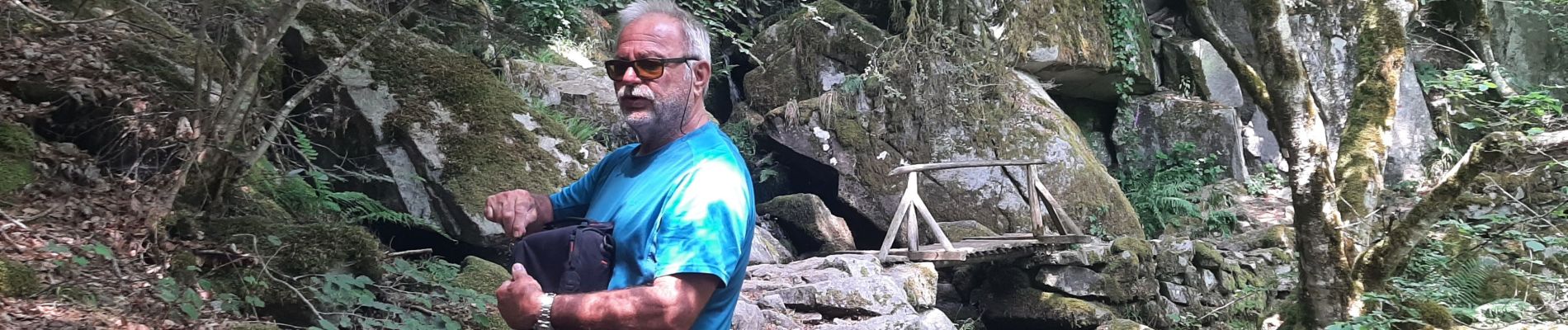
Balade en foret pendant un séjour en Alsace
Belle foret mais vraiement très sec pour un mois de Juin.
Photos


Positioning
Country:
France
Region :
Grand Est
Department/Province :
Haut-Rhin
Municipality :
Mittlach
Location:
Unknown
Start:(Dec)
Start:(UTM)
353331 ; 5318619 (32U) N.
Comments