


Burnontige 180623

guyernage25
User


Length
14.4 km

Max alt
419 m

Uphill gradient
391 m
Km-Effort
19.6 km

Min alt
246 m

Downhill gradient
391 m
Boucle
Yes
Creation date :
2023-06-19 09:05:14.941
Updated on :
2023-06-19 13:11:52.055
3h45
Difficulty : Medium

FREE GPS app for hiking
 SityTrail
IGN / Geographical institutes
SityTrail Plus
The world is yours!
About
Trail Walking of 14.4 km to be discovered at Wallonia, Liège, Ferrières. This trail is proposed by guyernage25.
Description
belle balade forestiere
Photos


Positioning
Country:
Belgium
Region :
Wallonia
Department/Province :
Liège
Municipality :
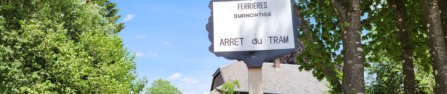
Ferrières
Location:
Unknown
Start:(Dec)
Start:(UTM)
688065 ; 5584677 (31U) N.
Comments