


La roche 7H Monthermé

macrid
User
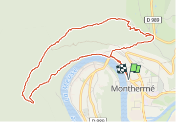

Length
5.9 km

Max alt
374 m

Uphill gradient
232 m
Km-Effort
9 km

Min alt
138 m

Downhill gradient
232 m
Boucle
Yes
Creation date :
2023-05-29 10:39:21.012
Updated on :
2023-06-23 09:46:21.812
2h24
Difficulty : Medium

FREE GPS app for hiking
 SityTrail
IGN / Geographical institutes
SityTrail Plus
The world is yours!
About
Trail Walking of 5.9 km to be discovered at Grand Est, Ardennes, Monthermé. This trail is proposed by macrid.
Description
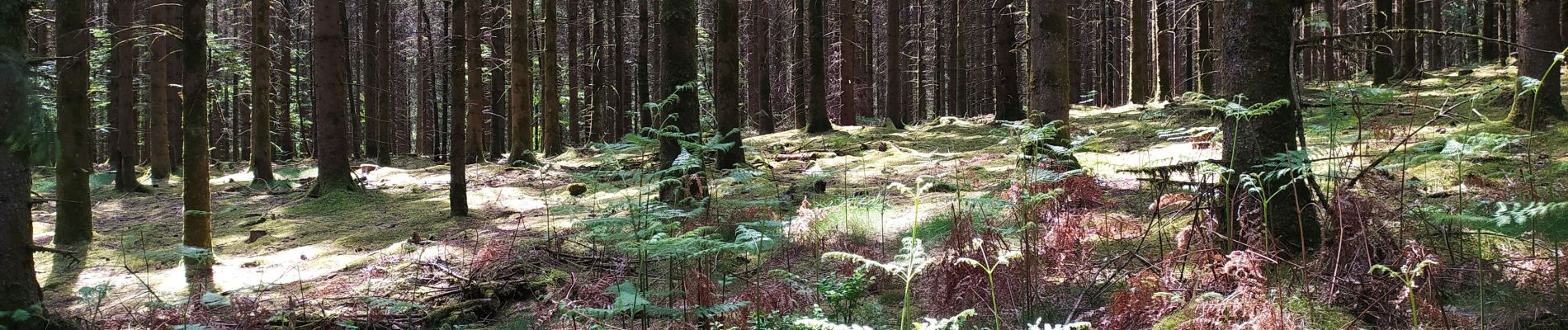
Magnifique promenade a vues superbes.
Photos


Positioning
Country:
France
Region :
Grand Est
Department/Province :
Ardennes
Municipality :
Monthermé
Location:
Unknown
Start:(Dec)
Start:(UTM)
624884 ; 5527334 (31U) N.
Comments